|
|
also spelled Kwatah city, district, and division of Baluchistan
Province, Pakistan. The name is a variation of kwatkot, a Pashto
word meaning “fort,” and the city is still locally known by its
ancient name of Shal or Shalkot.
The city is the divisional and district headquarters and is an
important marketing and communications centre at the north end of
the Shal Valley about 5,500 ft (1,675 m) above sea level. …
----------------------------------
DISTRICT
. It rose to prominence in 1876, when Sir Robert Sandeman foundad a residency
there. The name is a variation of the word kwat-kot, signifying a fortress, and
the place is still locally known as Shal Kot. Quetta is the southernmost point
in the line of frontier posts and system of strategic railways on the north-west
frontier of India, 536 M. by rail N. of Karachi. It forms the head-quarters of
the fourth division of the southern army, with a strong garrison of all arms.
The railway was built in 1879, with a view to its continuance to Kandahar; but
its present terminus is New Chaman on the Afghan border. A branch line to Nushki
was completed in 1905. The cantonment and civil station of Quetta stand in the
open plain about 5500 ft. above sea-level, within a ring of mountains (such as
Takatu, I^/Iurdar and Chiltan), which overlook it from a height of over 11,000
ft. To the north-west the view is open across the base of the Pishin valley to
the Khojak Pass and Kandahar. SouthSee Also:
SOUTH
-wards is the open valley leading to the Bolan Pass, traversed by the railway.
North of Quetta is the open plain leading to Pishin and the Harnai, also
traversed by the Sibi-Pishin railway, which passes through .the fortifications.
These defensive works, stretching from the base of Takatu to the foot of the
Mashelak hills on the west, bar the way to advance from the Khojak Pass. During
the last quarter of the 19th century Quetta grew from a dilapidated group of mud
buildings, with an inferior bazaar and a few scattered remnants of neglected
orchard cultivation, into a strong fortress, and one of the most popula%
stations of the Indian army. Quetta was visited by the prince of Wales (George
V.) in 1906, and a staff college for the Indian army was opened here in 1907. It
has become the trade mart for western Afghanistan, eastern Persia, and much of
central AsiaSee Also:
ASIA
. The population of the town and cantonment in 1901 was 24,584. The DISTRICTSee
Also:
DISTRICT
OF QUETTA (including Pishin) has an area of 5127 sq. m. Pop. (1901) 114,087, of
whom more than three-fourths are Afghans, showing an increase of 45 % in the
decade. The general aspect,of the country is hilly, rocky and sterile,
particularly towards the north; but in many parts the soil is rich and good,
yielding wheat, riceSee Also:
RICE (Greek 6p6 a, Latin oryza, French riz, Italian riso, Spanish arroz, derived
from the Arabic)
RICE, EDMUND IGNATIUS (1762-1844)
RICE, JAMES (1843-1882)
, madder, tobacco, and lucerne, besides numerous grassesSee Also:
GRASSES
. The district has abundant orchards, furnishing grapes, apples, pears,
pomegranates, figsSee Also:
FIGS
, &c.; melons and all kinds of English vegetables are also largely cultivated.
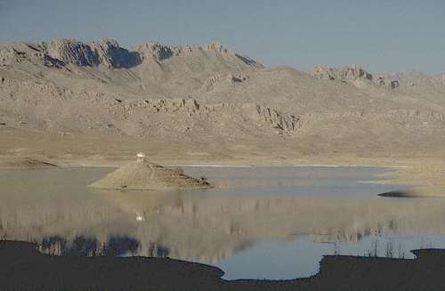
The valley is watered by the Pishin Lora and by government irrigation works,
including artesian wells. Wild sheep and goats abound in the hills of the
district. The climate appears to be healthy and the temperature moderate,
ranging from 40 F. in the winter to about 78 in the summer. The annual rainfall
(including snow) averages about 10 in. The actual line of valley which contains
Quetta and the Bolan Pass was originally rented from the khanSee Also:
KHAN (from the Turki, hence Persian and Arabic Khan)
of Kalat on terms which were changed in 1882 to a quit-rent of Rs25,000 per
annum, and a further compensation of Rs3o,000 in lieu of transit duties in the
Bolan Pass. This perpetual leasehold was afterwards extended so as to include
Nushki and give the British government the command of the trade route to Sistan.
The Quetta district is now administered, together with the assigned districts of
Pishin, Tal Chotiali, and Sibi (assigned by the treaty of Gandamak as being
nominally Afghan territory) by a regular staff of civil officials. See Thornton,
Life of Sir Robert Sandeman (London, 1896) ; Quetta-Pishin District Gazetteer
(Ajmer, 1907). (T. H. H.*)
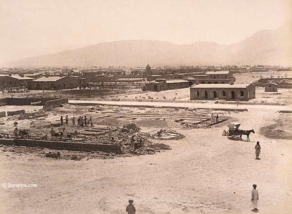
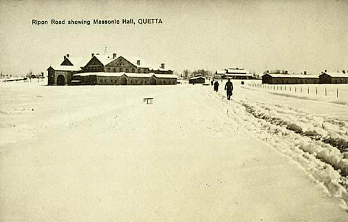
Quetta
Cantonment 1889
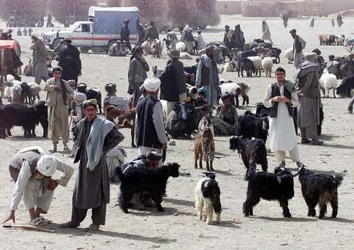
Chaman Bazaar
[Chaman became the terminal point of the what was once called the
Kandahar State Railway, a British project to extend rail lines
from Karachi to the southern Afghan city of Kandahar following
the Second Afghan War in 1880. The objective was to be able to
quickly move British troops to Kandahar. The newly installed Afghan
Amir, Abdur Rehman, later refused the railway extension,
and the project was renamed the Sind Peshin State Railway.
It was very difficult to cross to the Afghan side, as the US
photographer W.H. Jackson discovered in 1895. Chaman remains a
border town, now between Afghanistan and Pakistan.]
Balochistan
[The Chapper Rift was probably the greatest - if temporary -
engineering feat on the Sindh Peshin Railway. The rift itself was
created by the separation of two plates during an earthquake.
Constructing the pillars that supported the railway line and the
tunnels was an almost impossible task. Men were lowered on cradles
and had to work against sheer cliff faces. A drilling machine was
drawn by elephants who were never able to work again. Sudden floods
could appear anytime. Maintenance was extremely difficult and
expensive. In 1942 flood waters finally washed out too many
structures, and the railway section was shut down. Two years
later the bridge girders were removed to be used elsewhere.
This is one of Bremner's most famous photographs; a few years
later W.H. Jackson took a lantern slide of a train passing across
the rift.]
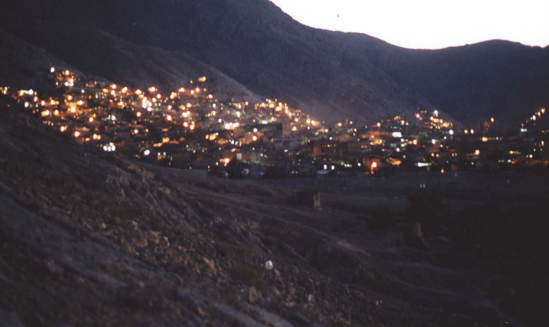
A night view of Quetta City
|
|
